 DriveCircle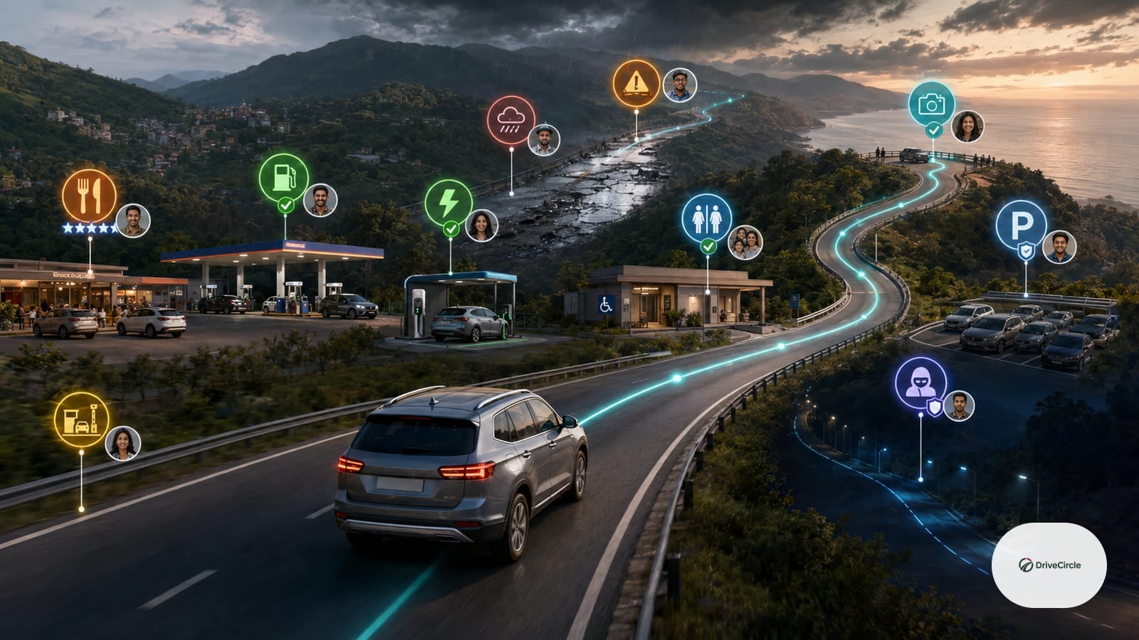
Maps are excellent at directions. They can show traffic, ETA, routes, and nearby places. But real road confidence often comes from people: which breakfast stop is clean, which fuel pump is reliable, which stretch feels unsafe at night, where the road is broken after rains, where families can stop comfortably, and which detour is actually worth taking.
That is community road intelligence, and it already exists informally — just in a form that's hard to reuse. One real example: a road-trip community maintains a crowdsourced list of weekend-drive destinations organised by distance band from a home city (0-50km, 50-100km, up to 300km+), added to and refined over years by many different contributors. That kind of structure turns "where should we go this weekend" into a quick lookup instead of a fresh search every time — but it only works because someone in the group keeps it alive, and it's genuinely hard to find again once the conversation moves on.
Indian drivers already share this information informally through WhatsApp groups, Telegram groups, car clubs, office friends, family groups, and local communities. The problem is that the information disappears. A great recommendation from last month is hard to find when you need it again.
What Community Recommendations Should Capture
- Food stops and washroom quality
- Fuel pump reliability
- EV charger experience
- Road condition notes — and how recent the report is, since conditions change with monsoon damage and repair work
- Safe parking spots
- Family-friendly breaks
- Scenic detours
- Toll and timing tips
DriveCircle can become the memory layer for these recommendations. Maps can guide the drive. People can improve the drive.