 DriveCircle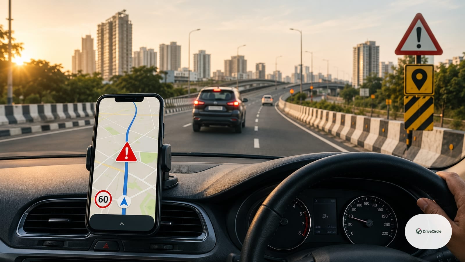
In recent years, Google Maps has introduced a feature that highlights accident-prone areas on its platform, providing users with critical information to navigate safely through Indian roads. This feature, which uses data from various sources, including user reports and government notifications, has been integrated with the Delhi Traffic Police's own system to provide more accurate and up-to-date information. However, it's essential to understand the difference between advisory alerts and legal speed limits, as well as the limitations of Google Maps' data accuracy.
Understanding Accident-Prone Areas on Google Maps
Google Maps uses a combination of data from various sources, including user reports, government notifications, and incident reports, to identify accident-prone areas. In India, this data is reportedly sourced from the Ministry of Road Transport and Highways, as well as state-level government departments responsible for traffic management. The platform then uses algorithms to analyze this data and provide users with alerts and warnings about potential hazards on the road.
Delhi Traffic Police Integration
In a significant development, the Delhi Traffic Police has reportedly integrated its data with Google Maps, enabling the platform to provide more accurate and up-to-date information about accident-prone areas in the national capital. This integration is expected to improve road safety in Delhi, where traffic congestion and accidents are a significant concern. According to the Delhi Traffic Police, the integration will help users make informed decisions about their route and reduce the risk of accidents.
Advisory Alerts vs. Legal Speed Limits
It's essential to note that the accident-prone area alerts on Google Maps are advisory in nature, not a substitute for legal speed limits. While the platform provides valuable information about potential hazards, users must still adhere to the legal speed limits set by the government. Exceeding speed limits can result in penalties and fines, regardless of the alert status on Google Maps.
Limitations of Google Maps Data Accuracy
While Google Maps' data is sourced from various reliable sources, its accuracy can be affected by several factors. User reports, for instance, may not always be accurate or up-to-date, and government notifications may not be comprehensive. Furthermore, the platform's algorithms may not always be able to identify the root cause of accidents or predict potential hazards. Users must therefore exercise caution when relying on Google Maps for navigation and take necessary precautions to ensure their safety on the road.
Practical Checklist for Safe Navigation
To navigate safely and effectively, users can follow these practical tips:
- Always check the alert status of a route on Google Maps before embarking on a journey
- Adhere to legal speed limits and adjust your speed according to road conditions
- Avoid using mobile phones while driving and keep an eye on the road at all times
- Follow traffic rules and regulations, such as wearing seatbelts and helmets
- Report any accidents or hazards to the authorities and Google Maps
Frequently Asked Questions
Q: What is the source of data for Google Maps' accident-prone area alerts?
A: Google Maps sources data from various sources, including user reports, government notifications, and incident reports.
Q: Is the data provided by Google Maps 100% accurate?
A: No, the accuracy of Google Maps data can be affected by several factors, including user reports and government notifications.
Q: Can I rely solely on Google Maps for navigation?
A: No, users must exercise caution when relying on Google Maps and take necessary precautions to ensure their safety on the road.
Q: How can I report accidents or hazards to Google Maps?
A: Users can report accidents or hazards to Google Maps through the platform's feedback feature or by contacting the authorities directly.